WHY
MERRITT ISLAND
discover our Island
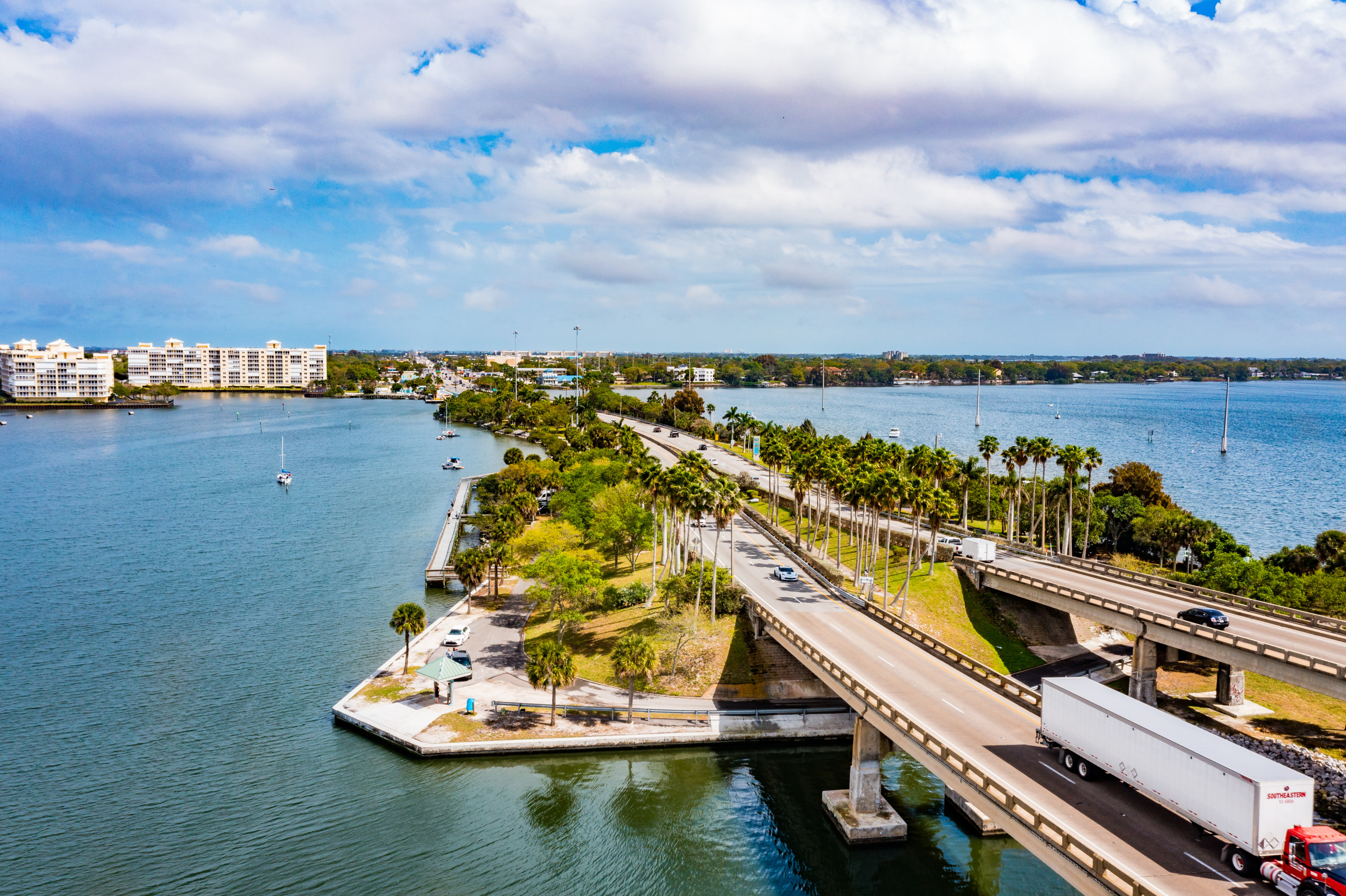
Connected Access
Highway access, Mainland and Interstate to Ocean, via SR 528 (Beachline Expressway) and 520 Corridor
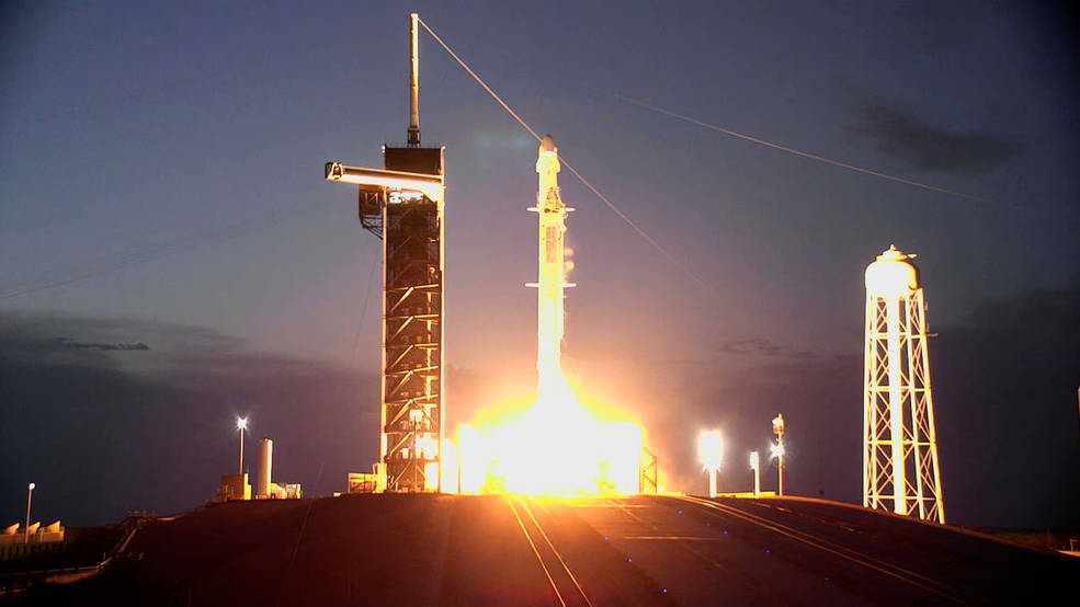
Kennedy Space Center
Credits: NASA TV
Home to Kennedy Space Center/NASA launch enterprise, direct link over Barge Canal on SR3
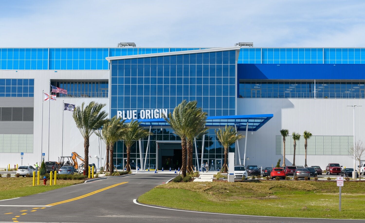
Exploration Park & Space Florida HDQRS
Home of Aerospace Giants, including SpaceX and Blue Origin (design/manufacturing facilities)
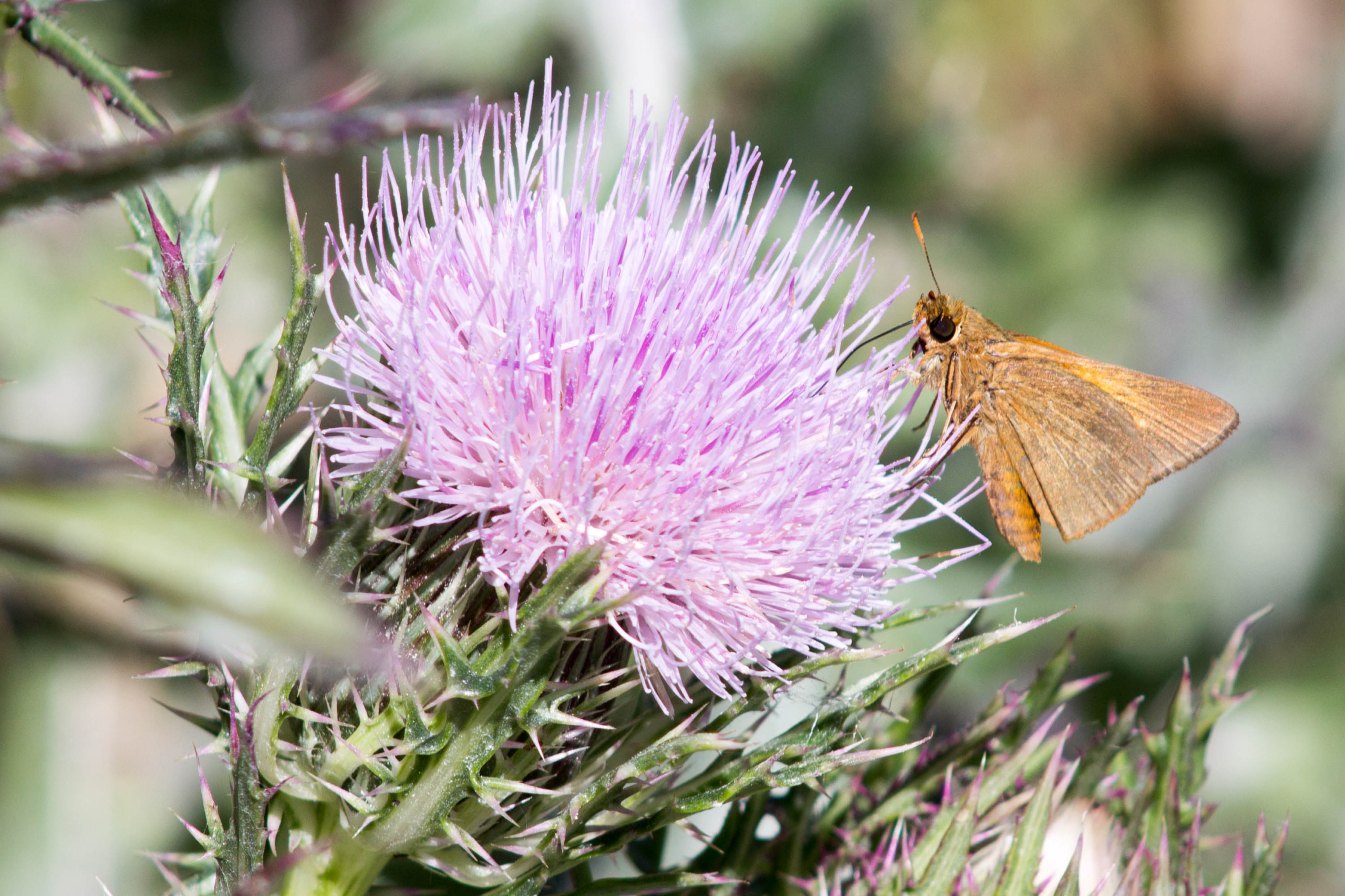
Merritt Island National Wildlife Refuge
140,000+ preserved acres with multiple habitats and many protected species
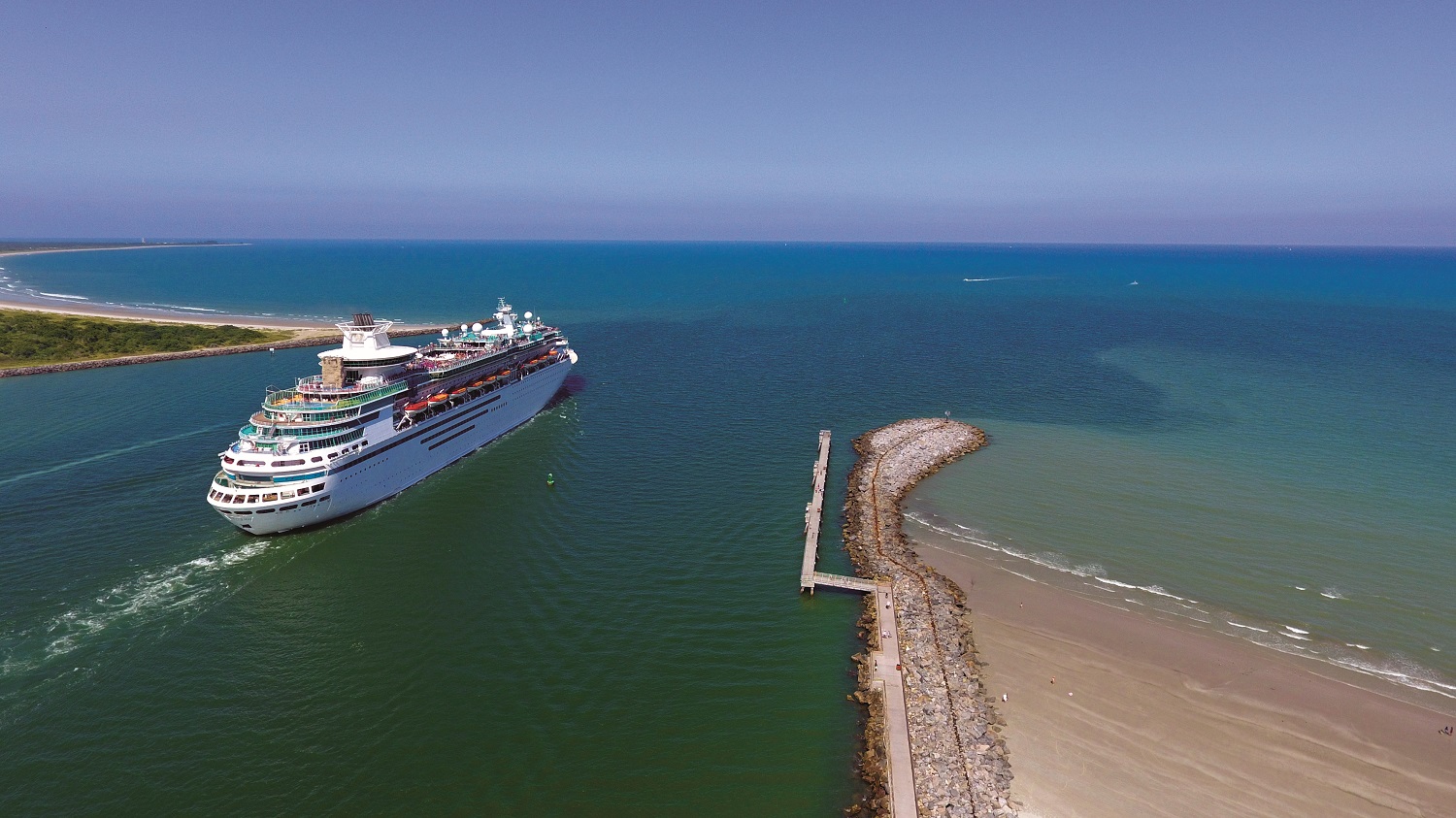
Port Canaveral
Next door to Port Canaveral, a Quintamodal Transportation Hub: ROAD–RAIL–AIR–SEA–SPACE
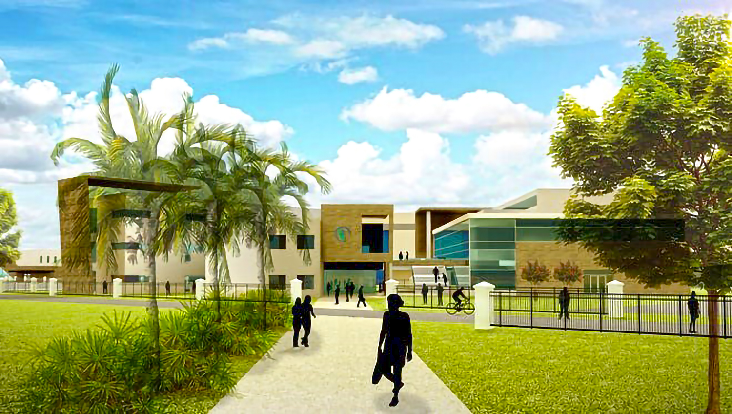
Talent Pipeline & Workforce Training
Expanding Workforce Training: Eastern Florida State College plans $19.7M Center for Innovative Technology Education (2024) and $1.2M Aerospace Center of Excellence (2023)
Where manufacturing drives growth regionally, Merritt Island’s employment is dominated by retail trade, healthcare, and accommodation and food services, while also having a high proportion of professional services.
Employment by Top Sectors: Merritt Island relative to Brevard County
- Merritt Island
- Brevard County
Dedicated to Sustainability & Economic Growth in Merritt Island
 The mission of the Redevelopment Agency is to create and implement community-based redevelopment strategies that promote quality growth and economic development, preserving Merritt Island’s history, culture and natural environment, and improving the quality of life for residents, workers, and visitors. Project planning and execution is funded through various sources, including Tax Increment Financing (TIF), grants, and donations.

