WHY
BREVARD
discover Florida’s Space Coast

- #2 FASTEST GROWING TECH SECTOR in the U.S., Bureau of Labor Statistics 2022
- MSA RANKED #5 U.S. BEST PERFORMING CITIES 2022, Milken Institute
- RANKED #3 in Florida, #18 Nationally, 150 BEST PLACES TO LIVE in the USA, 2021-2022, US News and World Report
- #1: in Florida & #10 in the U.S. for MOST CONCENTRATED HIGH-TECH ECONOMY, Milken Institute, 2022
- In TOP 25 COUNTIES FOR TALENT ATTRACTION, EMSI Burning Glass Labor Market Analytics
- Top 10 U.S. MSAs for STEM JOBS, Forbes.com
- #8: BEST WAGE GROWTH in the U.S., Milken Institute, 2022
- TOP 25: WORLDWIDE DESTINATION ON THE RISE; specifically mentioned as a top spot for families, National Geographic, 2020
- WITH 72 MILES OF BEACHES on the East Coast of Florida
MAJOR EMPLOYERS
- Birthplace of Space Exploration and Home to Commercial Space Enterprise Growth and Development
- Morgan Stanley’s Space Team Estimates that the roughly $350 billion space industry could surge to over $1 trillion by 2040.

- Home Of Space Launch Delta 45 and The 920th Rescue Wing At Patrick Space Force Base.
- Home Of NOTU, Naval Ordnance Test Unit, At Cape Canaveral Space Force Station.
- 72,000 U.S. Military Veterans make their home in Brevard County.
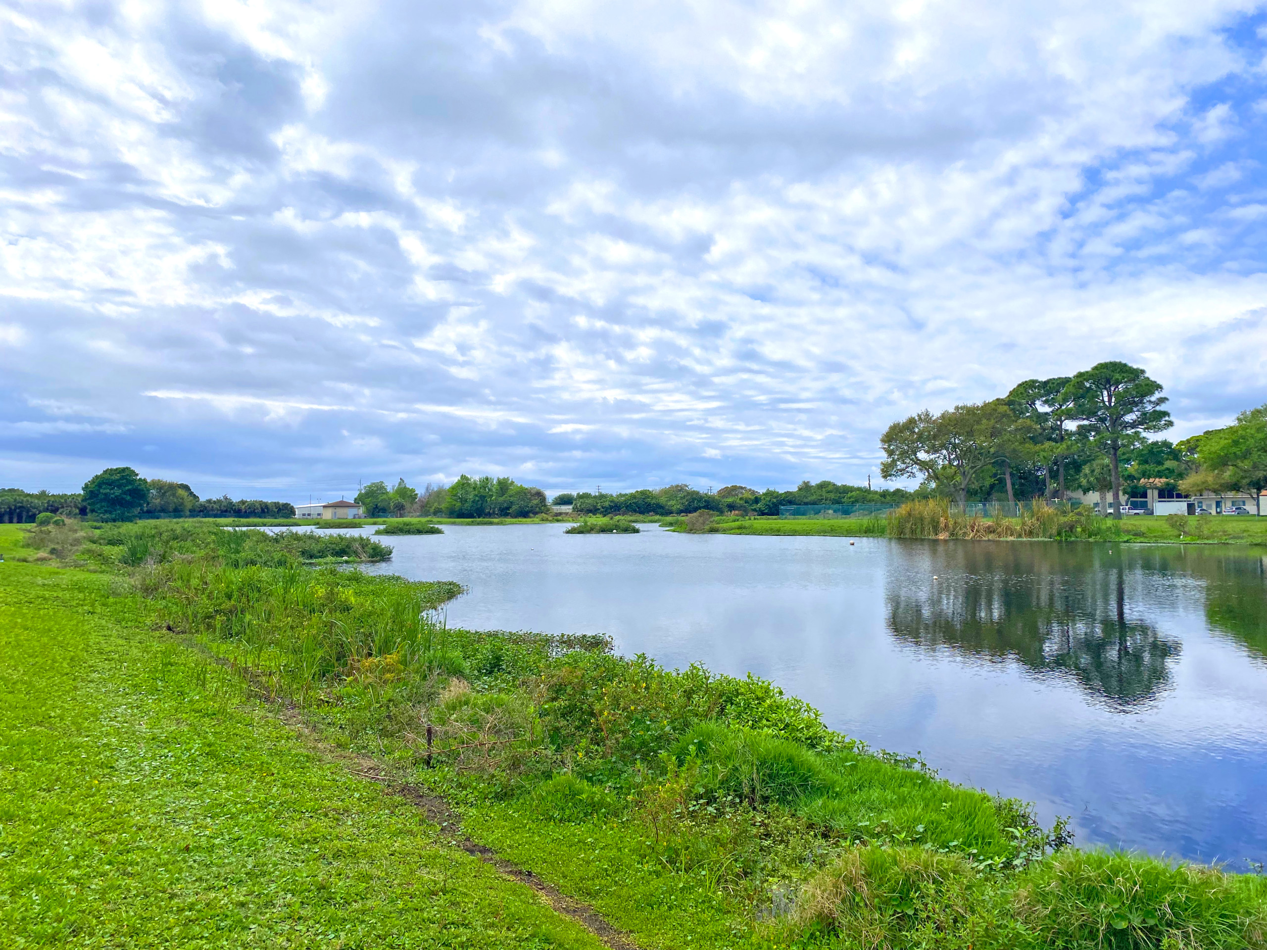
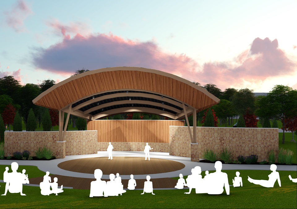
Dedicated to Sustainability & Economic Growth in Merritt Island
 The mission of the Redevelopment Agency is to create and implement community-based redevelopment strategies that promote quality growth and economic development, preserving Merritt Island’s history, culture and natural environment, and improving the quality of life for residents, workers, and visitors. Project planning and execution is funded through various sources, including Tax Increment Financing (TIF), grants, and donations.

